Sometimes, old school works better. Like maps. Oh, I don’t mean when you’re driving; GPS, Google Maps, and Waze are godsends. Society progressed from foldable maps (good luck trying to fold them back up), to Mapquest (good luck trying to read the directions while driving), to GPS which tells me where to go with a nice picture.
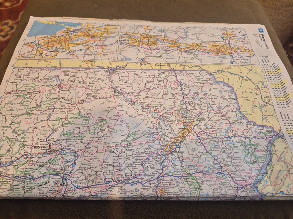
But suppose you have a story with a setting in Pennsylvania. I don’t want to use an actual town or city in this case, and I don’t know the state that well. How far would it be to a larger city for characters to drive for whatever reason? Is the town in one of the infamous snow pockets where sudden whiteouts terrify drivers? Is it a hilly or flat area, surrounded by fields, or near parks?
You can’t get that info from GPS, or even from Google because you have to start with a known place.
BUT IF I DON’T KNOW WHERE I’M STARTING FROM, HOW CAN I KNOW WHERE TO LOOK?
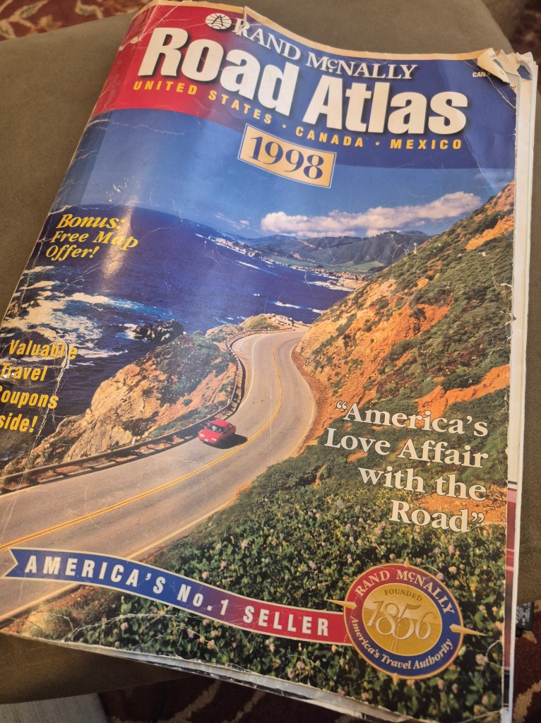
That’s why I keep a paper atlas. (Does Rand McNally even exist anymore? Quick check, yes they do, they’ve adapted to technology but still make atlases. See, dinosaurs have their use.) You can see the wear and tear because I use it for almost every book.
WHY would I need an atlas? For all the reasons cited above. An atlas shows:
- lakes, parks, mountains, elevations.
- roadways, streets, dead ends, highways, intersections, scenic routes.
- airports, service areas, ports.
- the scale of distance (one inch = 20 miles, approximately).
- distances between major and semi-major cities.
- a thumbnail of the state’s topography.
- statistics like population, state flower, capitol, largest city, highest point, and land area in square miles.
So, sorry Google, but I need more than you can give me without going down the search rabbit hole. And if my characters drive, move, fly, or train to another state, all the info is right there.
